The “Explore” map is meant to allow more in-depth, interactive access to the Tax Map features (parcels, lots, etc.), as well as other important layers.
This map has a number of different tools and features available:
Search
In the upper-left of the page you can find the Search Bar.
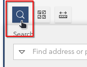
Begin typing, and the search tool will auto-suggest features that match your search.
You can search for:
- PIN (with and without hyphens)
- Address
Layers
Next to the search tool is the Layers icon.
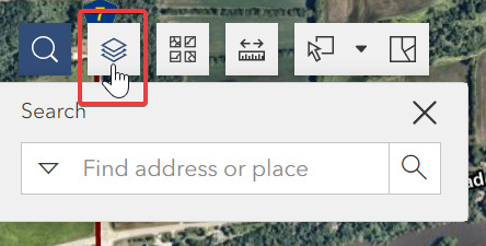
This will show you the list of layers available in the map. Clicking the eye icon next to each layer can turn it on and off.
You can also toggle the layer list to the Legend view to see how each layer is symbolized.
Basemaps
Next to the layer list is the Basemaps tool.
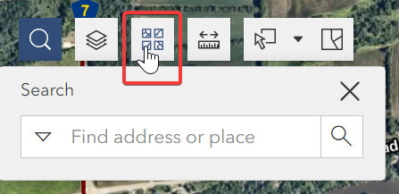
This gives you the ability to toggle the basemap currently displayed.
There are a variety of maps available, from prior years’ imagery to historic plat maps.
Measure
The last tool in the upper-left is the Measure tool.
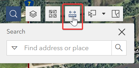
With this tool active, click on the map to begin drawing the line or area you wish to measure. Double-click to finish your drawing.
You can set the measurement units at any time; the label will automatically update to reflect your choice.
Tax Map Experience
In the lower-left of the map, there is a thumbnail of another map. Click on this to switch the current map for a predefined “Tax Map” view. This map attempts to replicate the appearance of a cadastral tax map.
Click the thumbnail again to switch back.